![SAS4Android]()
![]()
![PlantSnap]() PlantSnap
PlantSnap
![Best Custom Texture Maker For MCPE]() Best Custom Texture Maker For MCPE
Best Custom Texture Maker For MCPE
![ActiveSync]() ActiveSync
ActiveSync
![IntelliJ IDEA]() IntelliJ IDEA
IntelliJ IDEA
![Animoji Karaoke]() Animoji Karaoke
Animoji Karaoke
![English Grammar In Use]() English Grammar In Use
English Grammar In Use
![TO FU Oh SUSHI]() TO FU Oh SUSHI
TO FU Oh SUSHI
![Avto Exam]() Avto Exam
Avto Exam
SAS4Android
3.2

Download
Category: Maps
System: Android 2.1
Program Status: Free
Looking at the file: 21 614
Description
You can create a route to the object you need in the city or in the forest using a special SAS4Android application. It uses reliable satellite maps SAS Planet, simultaneously working with a navigator. The maps of this base are characterized by very detailed detail and therefore do not need advertising.
What can SAS4Android do?
The functionality of this program has a wide range of features. First, any map from the SAS database will be downloaded to any PC, including desktop PCs. Adjustable level of transparent background and multi-layer map overlay. Using the system toolkit, the user of the program can work simultaneously in several maps. By the way, it is very easy to switch between them. Second, the program gives the traveler the opportunity to work with the cache even in a packed form. Thirdly, extensive visual statistics for a sophisticated user always makes traveling easier. For example, SAS4Android displays travel data and also allows you to send your coordinates to your interlocutor over the Internet, in the form of messages. Time, distance and speed of the traveled path are reflected in the summary. The application has a voice assistant, on the selected route. Moreover, the user himself can impose waypoints and tracks and program their self-liquidation as the path segment is passed.Application operation
First of all, when using the program it is important to understand the principle of its operation, which is based on two-way data exchange. In this case, maps, which are better downloaded in advance to the desktop version of SAS4Android. Having synchronized them with the mobile application, you get access to map material of decent resolution. Satellite images of the maps obtained from the desktop version cache will provide navigation directly in the mobile version. It is especially recommended to pay attention to the capabilities of the application for extreme travelers, in conditions of poor mobile communication. It is a kind of a lifeline in the abyss of unknown terrain. That the program was always in working condition is important to take care of the timely download and configuration of maps. Also, you should not neglect an additional battery for your smartphone. This application has special features that allow you to use navigation even in the absence of communication, if all the maps are loaded. Works with large files and allows you to customize map navigation "for yourself". Allows you to use the power saving mode. And most importantly, the program will work even in very early versions of Android OS.
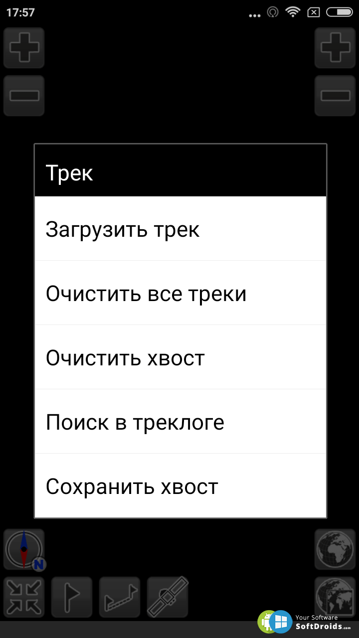
Screenshots
Download SAS4Android
See also:
 PlantSnap
PlantSnap is a software that allows you to identify the name of a plant without the slightest...
Best Custom Texture Maker For MCPE is a modern editing tool that is used by many users within the...
ActiveSync is an application for the Windows platform that allows you to synchronize your mobile...
IntelliJ IDEA is a popular Windows application that provides a user-friendly development...
Animoji Karaoke is a tool with which the user will be able to create animated audio messages. A bit...
English Grammar In Use is an educational utility that provides assistance in learning English. The...
TO FU Oh SUSHI is a simulator used for cooking sushi. The software is made in a game form and is...
AvtoExam is a useful software for Android-based mobile devices that helps Uzbek residents to learn...
Comments (0)